
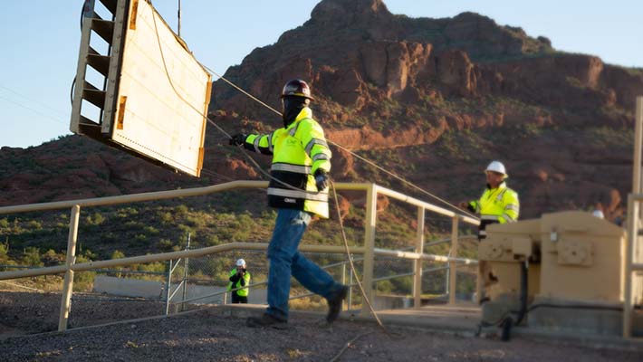
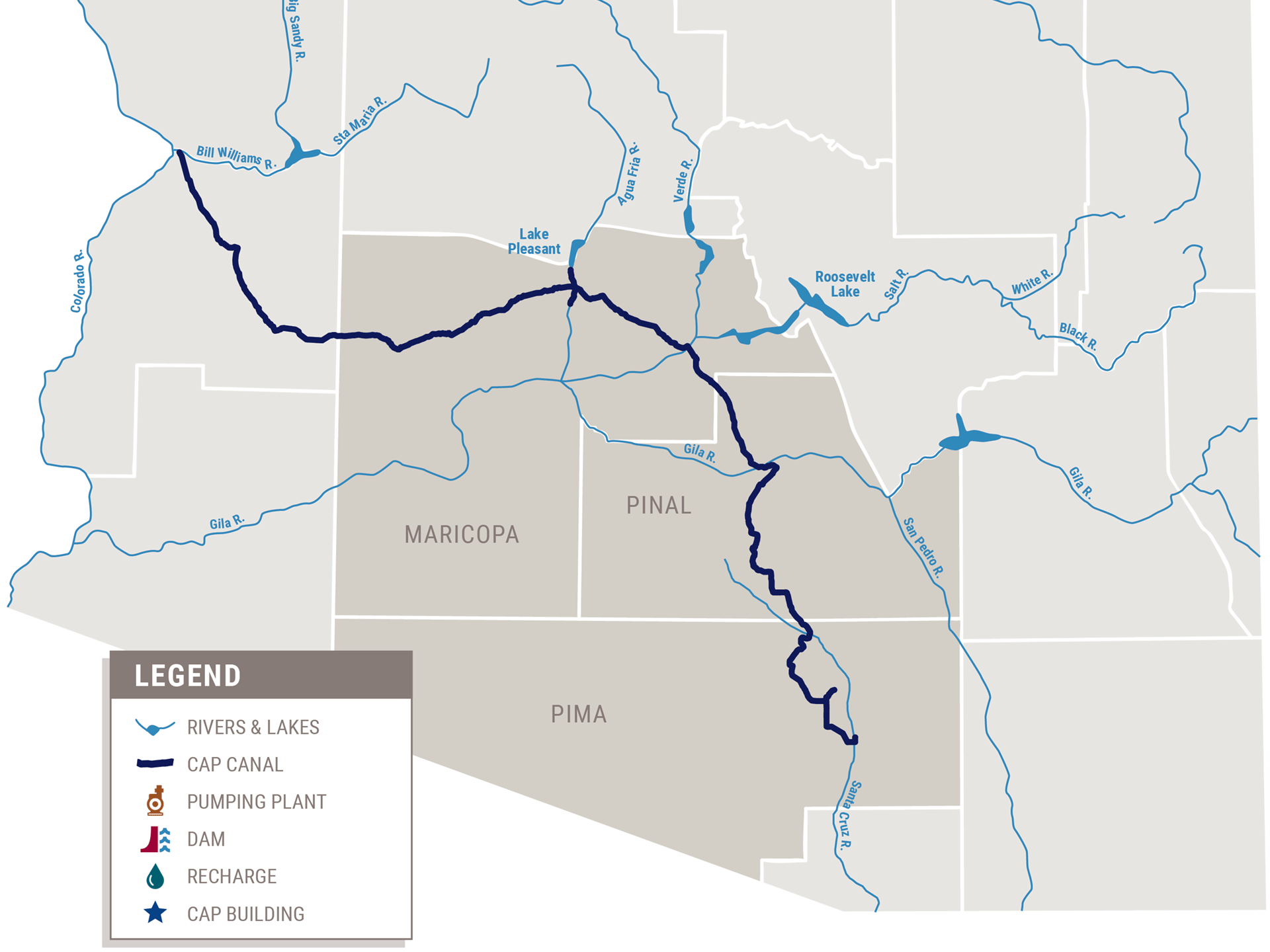
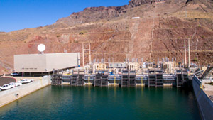
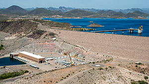
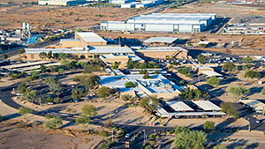
Mark Wilmer Pumping Plant
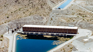
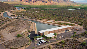
Bouse Hills Pumping Plant
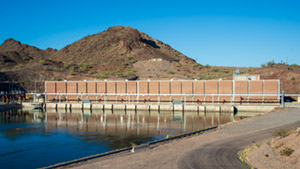
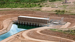
Little Harquahala Pumping Plant
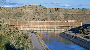
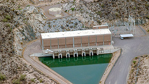
Hassayampa Pumping Plant
Waddell Pumping Plant
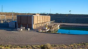
Salt Gila Pumping Plant
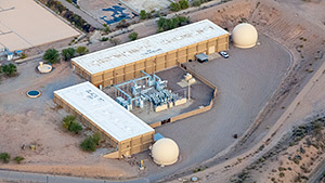
Brady Pumping Plant
Picacho Pumping Plant
Red Rock Pumping Plant
Twin Peaks Pumping Plant
Sandario Pumping Plant
Brawley Pumping Plant
San Xavier Pumping Plant
Snyder Hill Black Mountain
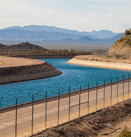
Tonopah Desert Recharge
Hieroglyphic Mountains Recharge
Agua Fria Recharge
Superstition Mountains Recharge
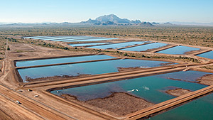
Lower Santa Cruz
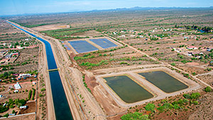
Pima Mine Road Recharge
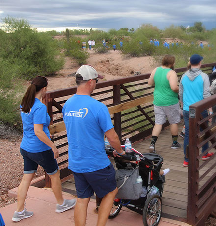
CAP Headquarters
Tucson Field Office
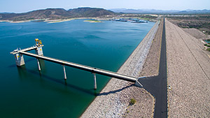
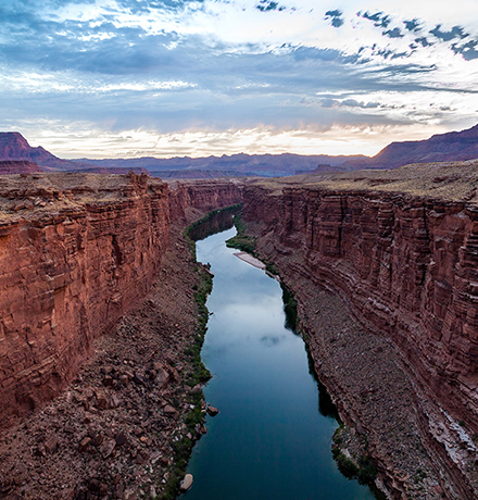
New Waddell Dam